Enterprise-grade geospatial data
We Provide
No matter how complex the data requirements, see why global customers choose our solutions for repeatability, high accuracy and speed.

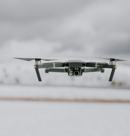
Drone Photography
Our Expertise
High-Quality Drone Data with systematic 360 tours and HD videos

Project Monitoring Application
Our Solutions
Tag & track objects, insert data, locate data interactively and collaborate with teams for better project progress monitoring with drone data
Workflow
We make for you the hard job, we understand you and your requirements, and we are capable to provide a high quality service according to your expectations and beyond.
Mission Planning
Our team is ready to help you to plan fieldwork, flight parameters and GCP location. Tell us the objectives of your project and we will define the best flight plan to fulfill your requirements. We work hard to make sure your projects go smoothly, despite the nature or complexity of the project. We understand your objectives and expectations. And present…
Geospatial data Capture
We count with the best pilots and edgy RPA’s and technologies, that is how we ensure the best experience for our customers. A secondary RPA and backup systems are always kept in mind when planning and executing fieldwork. Our high-end drone technology has optimized the geospatial data capture at high resolution. With world-class pilots and professional UAVs, we assure to…
Image processing
We process all the images, no third parties; our Geomatics team is there for you and your data. We ensure the best processing methods to fulfill your requirements. While image processing, we ensure to cover all details of images. Our diligent geomatics team handles all your data and applies the best processing methods as per your needs. Further, we geotagged…
Analysis and validation
A detailed analysis and validation of the data is performed to assure the best quality according to national or international standards, depending on your request. We can generate reports according to your needs. We analyze a variety of data sets over time to yield insights. We strive hard to meet rigorous standards and measure different parameters to generate reports. The…
Products and delivery
We are experts generating DEM/DSM, Orthophotos, contours lines, computing volumes, generating 3D models with innovative ideas , and provide you with the best GIS and engineering consultancy if needed.
Aerial Photography and Video Production Services
We realize that it's not possible to obtain measurements (velocity, distance, etc.) objectively. And this leads the companies to lack in many surveys. We, therefore, offer aerial photogrammetric services to analyze and inspect data collection to improve the data collection process.
Get the shots you need with majestic unmanned aircrafts:
Our vetted professional videographers provide footage that captures each perspective of the event and provides you a bird's eye view of your most important issues. We tailor our services to meet your needs. Also, we cover indoor locations and fragile environments.
Unleash the next level of 360-degree drone videography:
Our 360-degree drone videos enable the viewers to look around and inspect the scenes in any direction that otherwise would not be possible. Further, our heavy lift drones ensure that there won't be any drone imprint in the final video. Our time-lapse and hyper-lapse video workflow gives you a better video experience


DRONEWAYS
DroneWays Australia 2 Mount Elliot Drive Alligator Creek 4816 QLD Australia
Our Team
Francesco Gaviano
Francesco, Chief Pilot and Licenced Drone Operator, is a former Italian pilot and owns a successful media production agency based in Townsville, QLD.
Leandro Nunez
It is Editable. Geodetic Engineer, with 5 years of experience in the drone and Geomatics industry. Specialized in remote sensing and worked with clients from Brazil, Israel, USA and Ireland.
We Love our Clients, And They Love Us
“I appreciate your amazing services and professional staff for all your hard work and creative thinking! It was fun, and I hope to work with you again soon!”